Congrats Professor Stewart!
Read MoreNEWS & EVENTS
Wildfire Planning Tool for Bidirectional Long-Term Risk Quantification and Management
/
The relationship between California’s IOU and wildfire risk is bidirectional. In one direction, wildfires pose a direct threat to electric infrastructure, which is often located in high-risk zones. These events can significantly reduce the reliability of the electric grid and dramatically increase operational costs, ultimately resulting in higher rates for consumers. In the other direction, electric infrastructure itself can be a significant source of wildfire risk for the surrounding environment. Equipment failures in the electric network or its interaction with nearby vegetation can cause ignitions, which in turn can function as originating events for catastrophic wildfires.
As a response to these events, electric IOUs operating in California are mandated to develop and submit Wildfire Mitigation Plans (WMPs), outlining strategies to assess, quantify, and mitigate wildfire risks associated with utility operations. However, implementing these mitigation measures, many of which involve expensive retrofitting programs, has significantly increased costs for consumers raising concerns about affordability and ratepayer burden. Consequently, high-cost grid expansion and mitigation projects, whose effects on wildfire risk will extend many years into the future, should be evaluated with consideration of long-term climate trends that may impact the service territory.
The core deliverable of this proposal is an open-source software platform that will enable California IOUs to efficiently quantify and manage mid- and long-term wildfire risk in a bidirectional manner. For this, the platform will consist of three core modules, integrated to enable all the data and analytical capabilities proposed in the project.
Module #1: Cloud architecture environment, optimized to serve geospatial data produced by the California’s Fifth Assessment and the Pyregence Consortium through solicitation EPC 18-206, in addition to other datasets generated as a result of this Agreement.
Module #2: State-of-the-art data-driven modules, to estimate wildfire risk posed by the environment to the electrical utility and by the utility to the environment and society.
Module #3: User interface, to enable the interaction between the user and the first two components, in addition to the easy incorporation of user-defined models into the application.
Project Goals and Objectives
The project aims to enhance IOUs' wildfire risk quantification and management capabilities, particularly over mid- and long-term timeframes, to support accurate evaluation of grid expansion and mitigation projects. Additionally, the project also aims to expand access to geospatial data produced by California's Fifth Assessment and the Pyregence Consortium through the development of a scalable, cloud-optimized data architecture. This will generate benefits for ratepayers in terms of increased safety, lower costs, and greater operational reliability. Multiple objectives are set in place:
Engage with key stakeholders through multiple instances to understand their needs, requirements, and technological barriers within their own infrastructures.
Evaluate the benefits of the project using quantifiable metrics. While the primary focus is on benefits for ratepayers, the project’s team will also measure and deliver value to other key stakeholders.
Design and implement an open-source cloud infrastructure capable of serving optimized geospatial data derived from California’s Fifth Assessment and the Pyregence Consortium.
Develop several data-driven models, incorporating state-of-the-art approaches, to quantify wildfire probability and consequence following a bidirectional conception of risk.
Develop and implement an easy-to-use, open-source user interface that allows users to access, interact, and customize the developed analytics methods for decision support and wildfire risk management capabilities.
Provide extensive documentation about all the products of the project, enabling utilities and other interested stakeholders to use the platform, as well as modify and integrate it into their own digital infrastructure.
Risk Institute Awarded $1 Million Caltrans Contract →
/
The research will improve earthquake hazard characterization and seismic risk analysis of transportation structures, particularly bridges.
Read More
UCLA Wildfire Evacuation Model Research Study
/
We invite you to participate in a wildfire evacuation model research study!
Read MoreCongratulations Class of 2025!
/To the Class of 2025,
On behalf of the Garrick Institute for the Risk Sciences, we want to extend our warmest congratulations to you on reaching this major milestone in life. Your hard work, patience, perseverance, and creativity has paid off. We recognize the last few months have been extremely difficult. However, you’ve managed to see the light during these dark times and your accomplishments will not be diminished. Together, we will continue to engineer change for the current and future generations to come.
Congratulations!
Special shout out to GIRS Class of 2025!

Gabriel San Martin Silva, Ph.D. Civil and environmental Engineering

Mohammad Pishahang, Ph.D. Civil and environmental Engineering
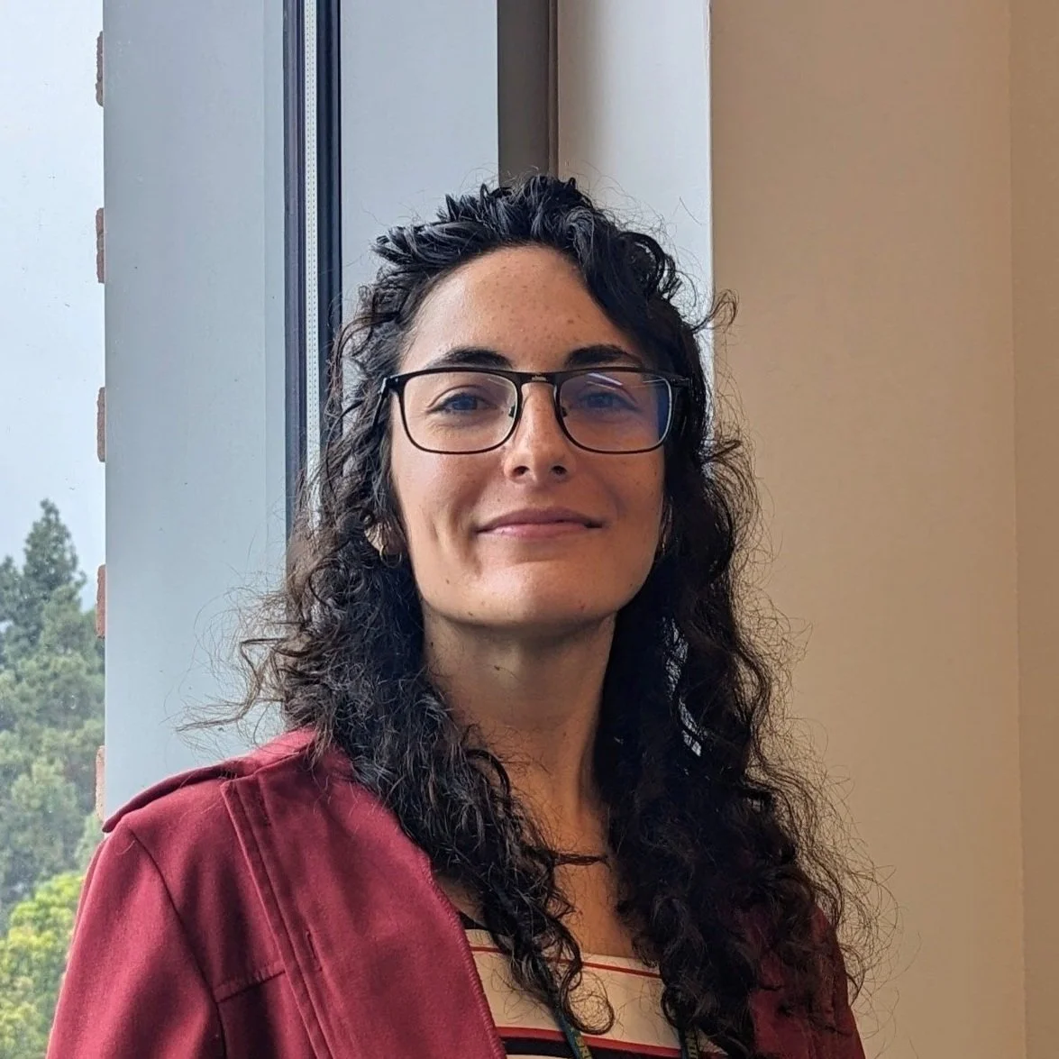
Camila Correa Jullian, PH.D. Mechanical and Aerospace Engineering

Sahil Dubey, M.s. Materials Science and Engineering

Pranav Sawant, M.s. Materials Science and engineering

Qusai H. Al Arfaj, M.S. Materials Science and Engineering

Symbat Tolegenova, M.s. Materials Science and Engineering

Abhishek Salilkumar, M.s. Materials Science and Engineering

Mubai Hua, B.S. Computer Science

Edmund Yao, B.S. Electrical Engineering

Ethan Bresk, B.S. Computer Science
UCLA Research Study Driver-System Interaction in Automated Driving
/
We invite you to participate in a driving simulator study!
Read MoreS25 GIRS Seminars: One-Step-Ahead Forecasting With Recurrent Variational Quantum Machine Learning
/
Thursday, June 05, 2025 at 1:00pm PT
Read MoreS25 GIRS Seminars- The Role of Autonomous Vehicle Policy in Driving the Future of Mobility
/
Thursday, May 29, 2025 at 1:00pm PT
Read MoreS25 GIRS Seminars- Resilience Quantification: State of Science and Practice
/
Thursday, May 15, 2025 at 1:00pm PT
Read MoreUS Earthquake Safety Relies on Federal Employees' Expertise→
/
NHR3 Co-Director comments on the importance of scientists and engineers’ expertise on US earthquake safety.
Read MoreS25 GIRS Seminars: Human-Autonomy Teams: An Integrated Methodology to Enhance Automated Driving Systems Operational Safety
/
Thursday, April 24, 2025 at 1:00pm PT
Read MoreQuantifying Safety Impacts of V2X-Enabled Traffic Systems→
/
This study explores the safety impacts of vehicle-to-everything (V2X) communication systems using probabilistic risk assessment (PRA) frameworks.
Read MoreS25 GIRS Seminars: Harnessing High-Performance and Cloud Computing for Natural Hazards Research: NSF DesignSafe and AWS in Action
/
Thursday, April 10, 2025 at 1:00pm PT
Read MoreThe Women in Risk Sciences
/
Highlighting some of the women that compose the producing knowledge and advancement of the risk sciences.
Read MoreW25 GIRS Seminars: SAFEST: A Probabilistic Risk Assessment toolchain based on Dynamic Fault Trees & Dynamic Event Trees
/
Thursday, March 13, 2025 at 1:00pm PT
Read MoreW25 GIRS Seminars: Recent Seismic Hazard Research Projects and Their Impacts
/
Thursday, March 06, 2025 at 1:30pm PT
Read MoreRisk Institute Researchers at the 71st Annual Reliability and Maintainability Symposium (RAMS) and the International Workshop on Autonomous Systems Safety (IWASS)
/The 71st Annual Reliability & Maintainability Symposium (RAMS) and the International Workshop on Autonomous Systems Safety (IWASS) will took place from January 25-30, 2025 in Miramar Beach, Florida.
Read MoreW25 GIRS Seminars: Game Theory, Data Analytics, and Disaster Management
/
Wednesday, February 12, 2025 at 12pm PT
Read MoreW25 GIRS Seminars: AI-Driven Strategies for Enhancing Infrastructure Resilience
/
Thursday, February 06, 2025 at 1pm PT
Read More