F25 GIRS Seminars: From Pixels to Policy: Earth Observation and Geospatial AI for Climate, Drought, and Risk-Informed Decision-Making
/When: Thursday, November 20, 2025
Time: 1:00pm PT
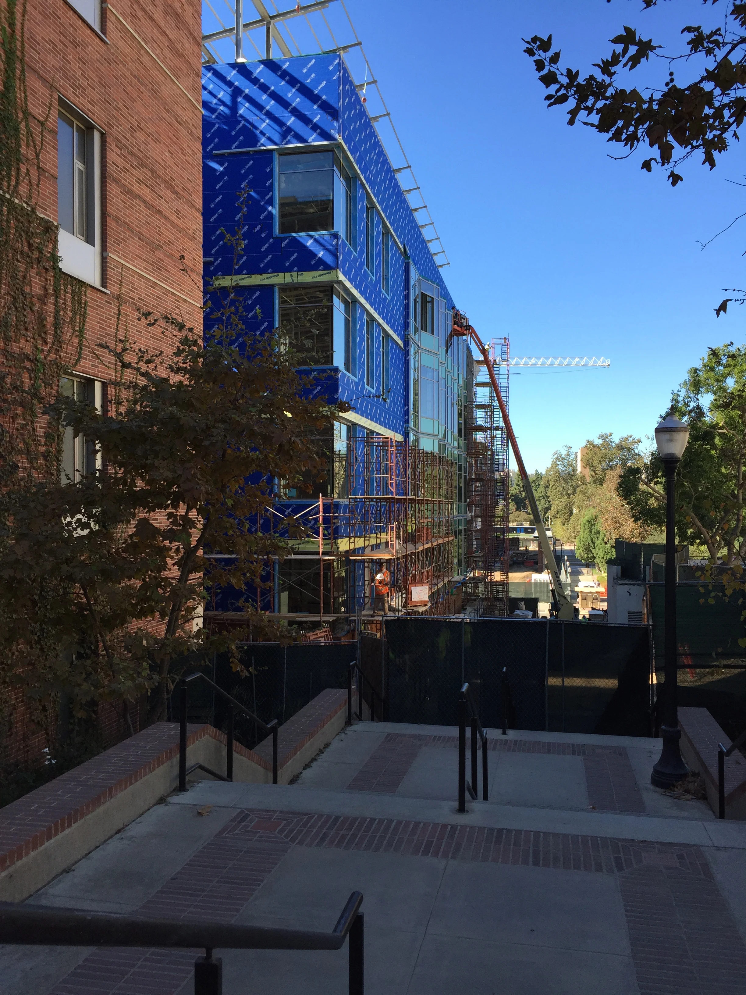
Where: (In-Person) UCLA Engineering 6 BLDG, Rm 580B and ZOOM
Elif Sertel
Abstract: The rapid expansion of Earth observation (EO) systems—driven by NASA, ESA, and an increasing number of commercial constellations—together with aerial, UAV, and drone imaging, has resulted in an unprecedented stream of high- and very-high-resolution (VHR) data about the Earth system. Concurrently, cloud computing platforms and geospatial data cubes have enabled petabyte-scale archives to be accessed and analyzed, thereby opening a new era in Geospatial Artificial Intelligence (GeoAI) for climate science, drought monitoring, disaster risk reduction, and environmental decision-making.
In this seminar, a series of interdisciplinary GeoAI applications based on remotely sensed data will be presented. Core GeoAI tasks—super-resolution, classification, object detection, and semantic segmentation—will be introduced, and their adaptation to the particular characteristics and challenges of remote sensing imagery will be outlined. A suite of open benchmark datasets, including VHRTreeSpecies, VHRTrees, HexaLCSeg, IstanbulBuildings, and WV3LULCMap, will be described, with emphasis on how they support reproducible research and method comparison across diverse regions and application domains.
Building upon these foundations, applications of GeoAI in several thematic areas will be showcased, including drought and soil salinity monitoring, precipitation downscaling, forest fire risk and impact assessment, and forestry and land-cover dynamics. The seminar will conclude with a discussion of future directions in GeoAI—encompassing large-scale foundation models, geospatial vision–language models, and causal approaches—and how forthcoming datasets and methodologies may further support risk-informed decision-making for climate, droughts, and broader environmental challenges.
Short Bio: Elif Sertel is a Professor of Geomatics Engineering at Istanbul Technical University and former Director of the ITU Center for Satellite Communications and Remote Sensing. A Fulbright Scholar at Rutgers University and the first Geomatics Engineer from Turkey to receive this distinction, she completed her Ph.D. on land-cover change and regional climate impacts and then continued at Rutgers as an NSF-funded postdoctoral researcher. Her work spans geospatial databases, remote sensing, and GIS, with a focus on GeoAI, deep learning, and decision-support systems for environmental problems such as soil salinity, wildfires, droughts, and floods. She leads multidisciplinary collaborations with academic and industry partners, with research strongly aligned with the UN Sustainable Development Goals (SDGs) 11, 13, and 15. She serves as Associate Editor for GIScience and Remote Sensing and the International Journal of Applied Earth Observation and Geoinformation. Prof. Sertel received the Outstanding Young Scientist Award from the Turkish Academy of Sciences (TÜBA-GEBİP) in 2017 and the TÜBİTAK Incentive Award in Engineering in 2021, becoming the first scientist in Geomatics Engineering in Turkey to earn both honors.


