
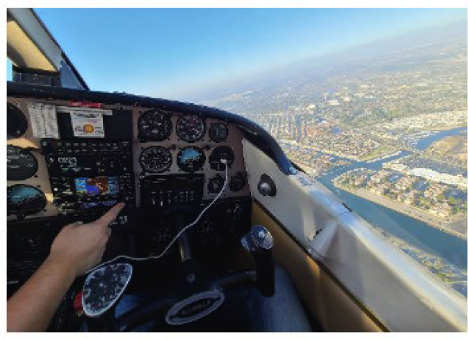
Aircraft-mounted Modular Aerial Sensing System used to survey the Eaton and Palisades fire areas, as shown in the Geotechnical Extreme Events Reconnaissance report
Risk Institute faculty, Scott Brandenberg and Jonathan Stewart demonstrate how data is collected to support long-term monitoring and inform models for post-wildfire hydrology, sediment movement and infrastructure resilience. Full article available at UCLA Samueli Newsroom.
