Assistant Professor Joins the Risk Institute
/
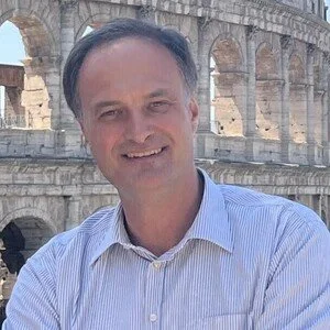
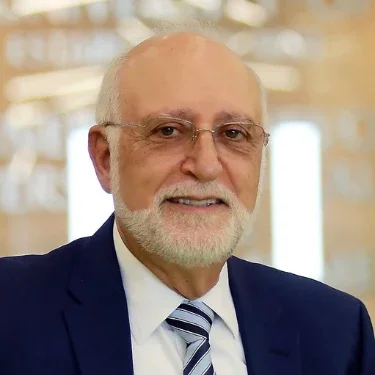
Prof. Talebi— Welcome to the Garrick Institute!
Read MoreProf. Talebi— Welcome to the Garrick Institute!
Read MoreOur next Spring seminar will be held on Thursday, June 11 at 1:00pm PT in Engineering 6 Rm 580B.
Read MoreOur next Spring seminar will be held on Thursday, May 28th at 1:00pm PT in Engineering 6 Rm 580B.
Read MoreWe are excited to share an upcoming talk by returning UCLA Risk Institute alumna Bineh Ndefru, PhD, whose work sits at the intersection of ecological economics, policy, and data-driven modeling.
When: Thursday, May 14, 2026 at 1:00pm PT
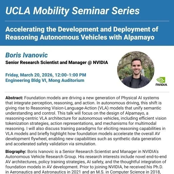
Read MoreFriday, March 20 at 12:00pm PT
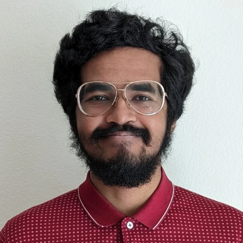
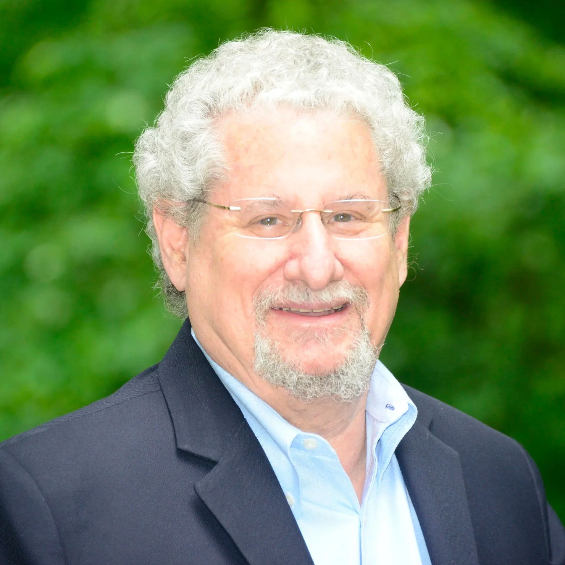
Read MoreHooman— Welcome to the Garrick Institute!
Read MoreThursday, March 12, 2026 at 1:00pm PT
Read MoreHighlighting some of the women that compose the producing knowledge and advancement of the risk sciences.
Read MoreProf. Tang— Welcome to the Garrick Institute!
Read MoreFriday, February 13, 2026 at 1:00pm PT
Read MoreThe book describes the technical, social, and political challenges of developing a deep-mined, geologic repository for high-activity nuclear waste.
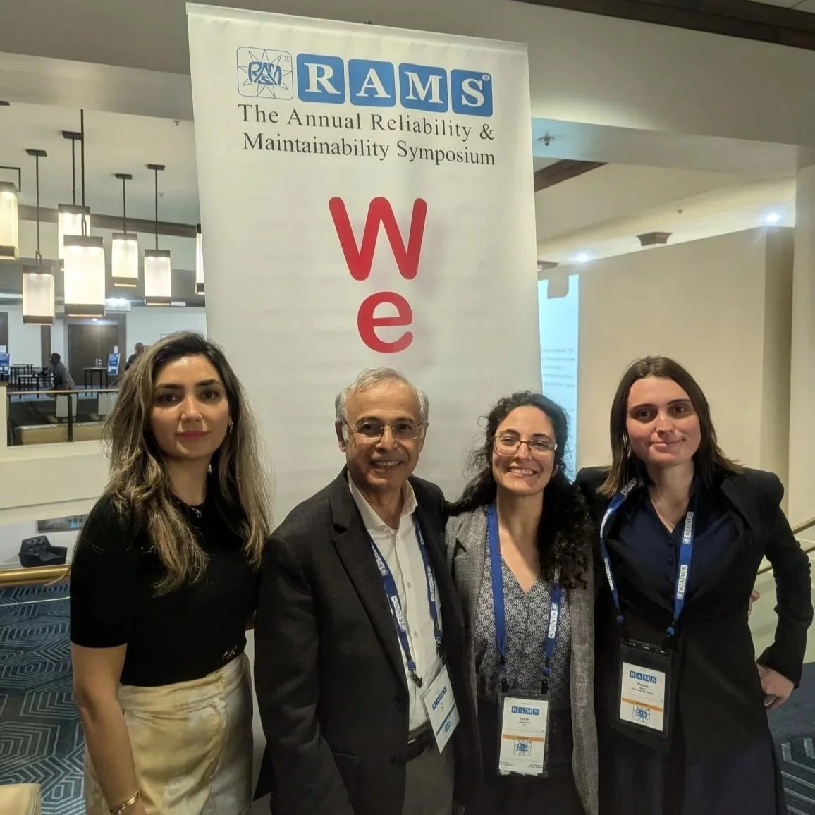
Read MoreThe 72nd Annual Reliability & Maintainability Symposium (RAMS) took place from January 19-22, 2026 in Miramar Beach, Florida.
Read MoreHelia— welcome to the Garrick Institute!
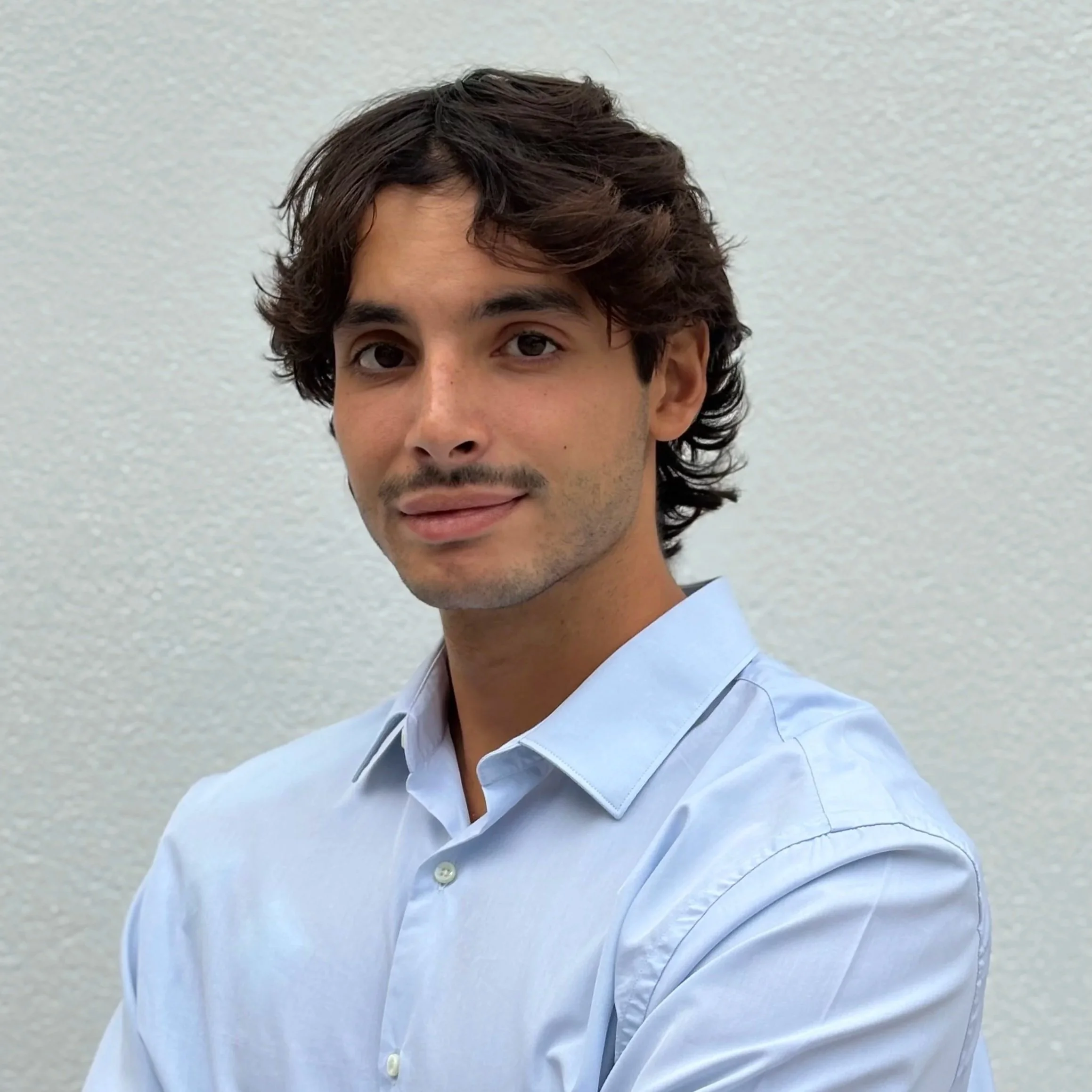
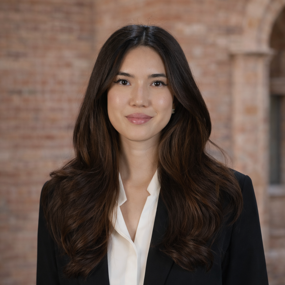
Read MoreAlexandre— welcome to the Garrick Institute!
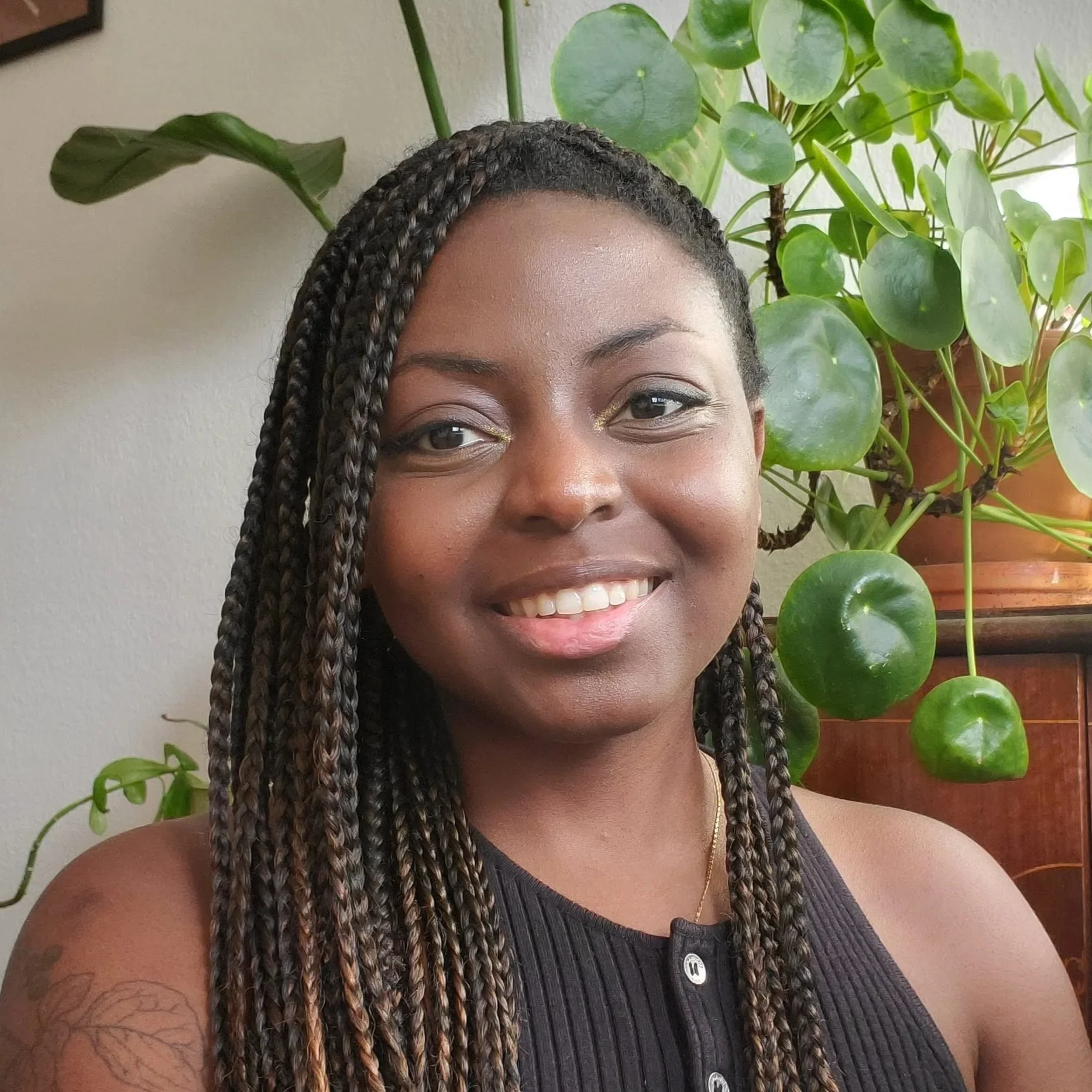
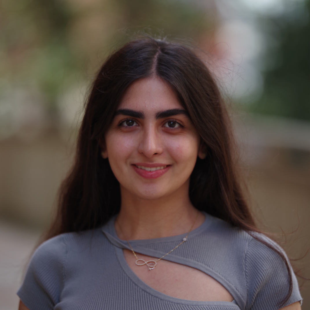
Read MoreSymbat— welcome to the Garrick Institute!
Read MoreThursday, January 29, 2026 at 1:00pm PT
Read MoreWhen: Thursday, January 29, 2026 at 6:00pm PT
Where: UCLA Tannas Alumni Suite (Engineering 6 BLDG, 1st Floor)
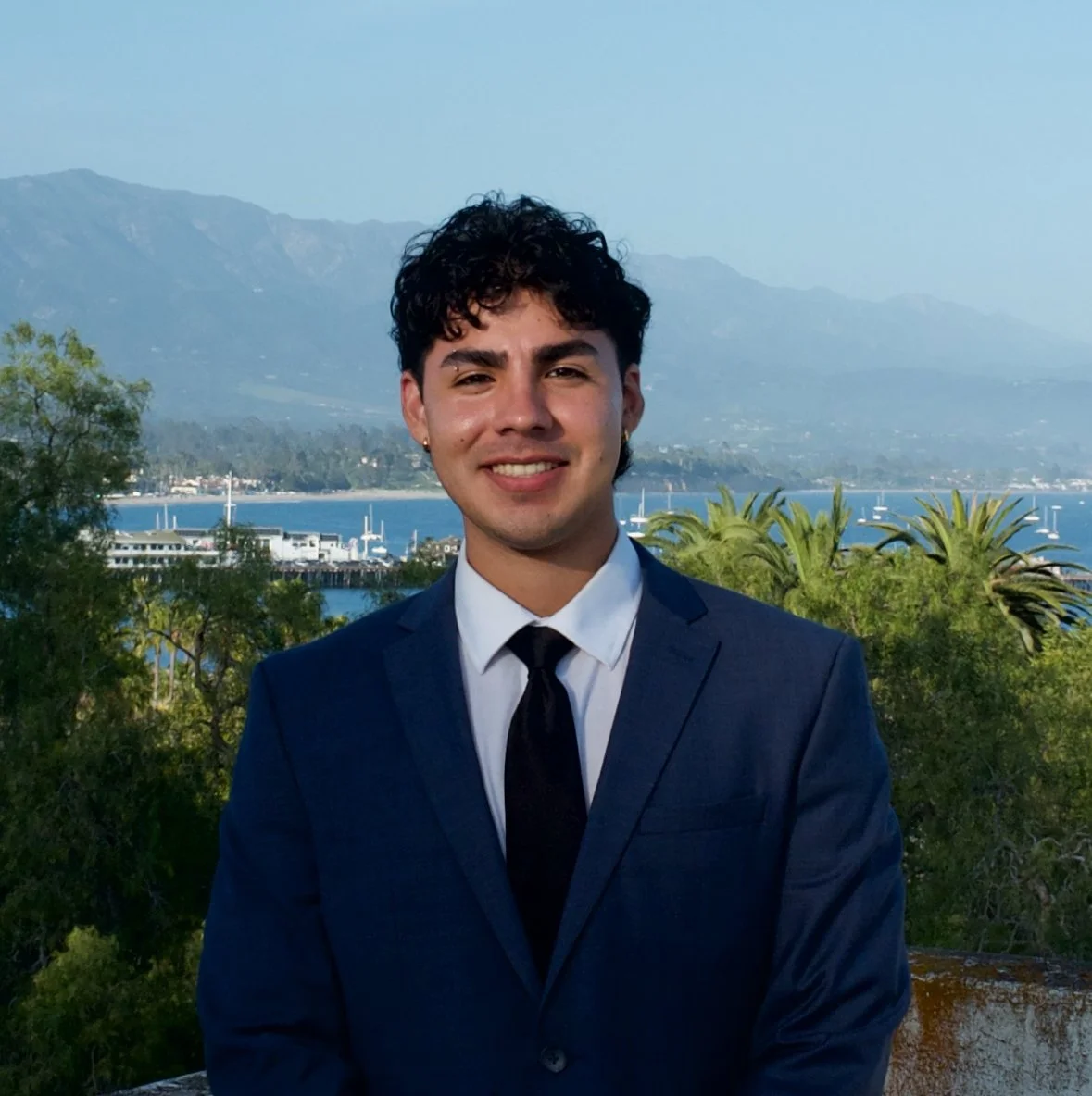
Anthony— welcome to the Garrick Institute!
Read MoreRisk Institute faculty demonstrate how data is collected to support long-term monitoring and inform models for post-wildfire hydrology, sediment movement and infrastructure resilience.
Read More